
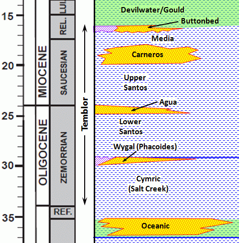
The Temblor Formation
|
The Temblor Formation in some parts of the valley is defined differently, and includes rocks as young as Middle Miocene in age. For example, the upper Temblor in the Coalinga area includes Middle Miocene units that would be classified as the Devilwater Siltstone and Gould Shale in the Elk Hills area, and at Sharktooth Hill in the hills east of Bakersfield the Middle Miocene Round Mountain Siltstone is also considered to be part of the Temblor. The Temblor on the west side of the valley has acquired a bit of notoreity in the oil patch in recent years due to two significant events. The first is the blowout in 1998 of the Bellevue No. 1 well up at Lost Hills from sandstones at a depth of 17,657 feet that are believed to be in the Temblor Formation. The second is the 2009 discovery of a significant amount of oil and gas in Temblor Formation Sandstones, specifically the Carneros sandstone, at the so-called "Gunslinger Pool" just on the northwest edge of the giant Elk Hills oil field. Gunslinger is said to be the largest oil field discovered in California in the last forty years. |
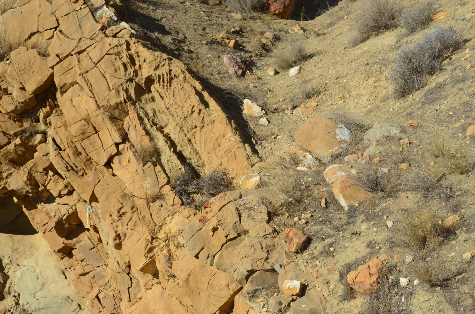
A Gallery of Pictures from the Temblor Formation
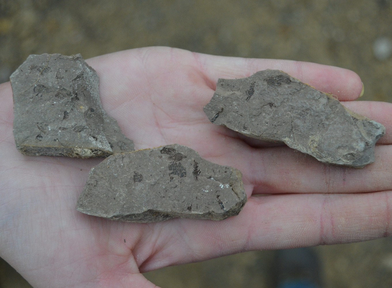 Fish scales in the Santos Shale |
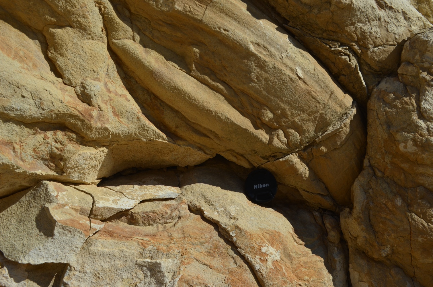 Flute cast in the Carneros Sandstone. |
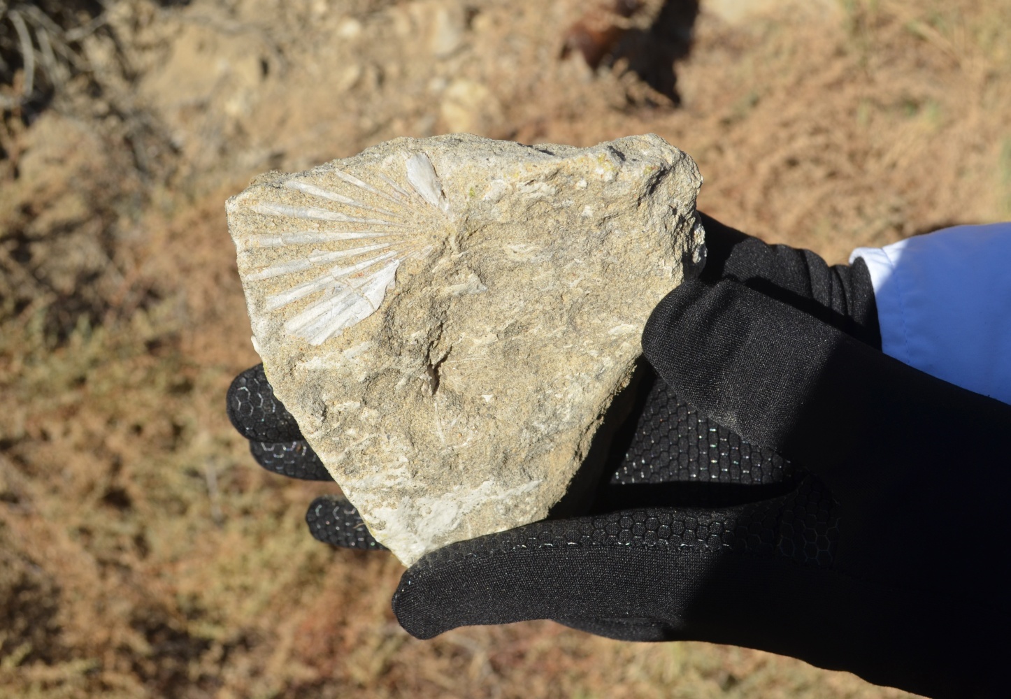 Fossil in the Phacoides Sandstone |
 Crossbeds in the uppermost Buttonbed. |